Headlines
Côte d’Ivoire: A Brief History of the Ivory Coast
Côte d’Ivoire, also known as Ivory Coast, is a country located on the coast of western Africa. The country’s history dates back to the Upper Paleolithic period (15,000 to 10,000 BC), or at the minimum, the Neolithic period based on weapon and tool fragments, specifically polished shale axes and remnants of cooking and fishing.
See Population, Official Language And More…
Cote d’Ivoire
In 1883, Côte d’Ivoire became a French protectorate, and in 1889, it became a colony. In 1904, it became a territory of French West Africa. The country gained full independence from France in 1960.
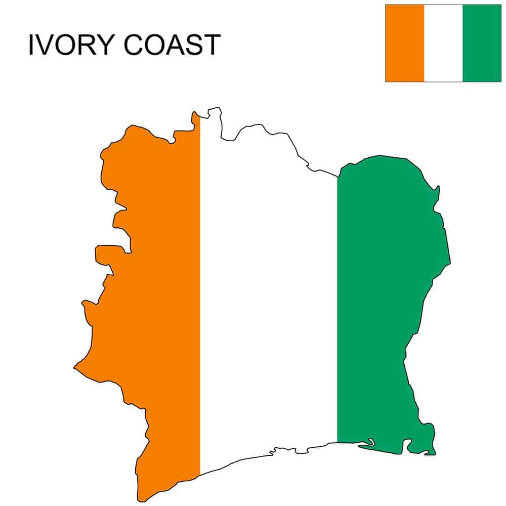
Côte d’Ivoire is bounded to the north by Mali and Burkina Faso, to the east by Ghana, to the south by the Gulf of Guinea, to the southwest by Liberia, and to the northwest by Guinea. The country is made up of four natural regions. The coastal fringe consists of a strip of land studded with lagoons on its eastern half. Behind the coastal fringe lies the equatorial forest zone that until a century ago formed a continuous area more than 125 miles (200 km) wide. The ground rises constantly as it recedes from the coast, and the northern half of the country consists of high savanna lying mostly 1,000 feet (300 meters) above sea level. Most of the western border with Liberia and Guinea is shaped by mountain ranges, whose highest point, Mount Nimba (5,748 feet [1,752 meters]), is situated in the Mount Nimba Strict Nature Reserve (designated a UNESCO World Heritage site in 1982), where the borders of the three countries meet.
The country’s history dates back to the Upper Paleolithic period (15,000 to 10,000 BC), or at the minimum, the Neolithic period based on weapon and tool fragments, specifically polished shale axes and remnants of cooking and fishing.
In 1883, Côte d’Ivoire became a French protectorate, and in 1889, it became a colony. In 1904, it became a territory of French West Africa.
The country gained full independence from France in 1960.
Côte d’Ivoire is bounded to the north by Mali and Burkina Faso, to the east by Ghana, to the south by the Gulf of Guinea, to the southwest by Liberia, and to the northwest by Guinea.
The country is made up of four natural regions. The coastal fringe consists of a strip of land studded with lagoons on its eastern half. Behind the coastal fringe lies the equatorial forest zone that until a century ago formed a continuous area more than 125 miles (200 km) wide. The ground rises constantly as it recedes from the coast, and the northern half of the country consists of high savanna lying mostly 1,000 feet (300 meters) above sea level. Most of the western border with Liberia and Guinea is shaped by mountain ranges, whose highest point, Mount Nimba (5,748 feet [1,752 meters]), is situated in the Mount Nimba Strict Nature Reserve (designated a UNESCO World Heritage site in 1982), where the borders of the three countries meet.